How can geo-elevation data be used?
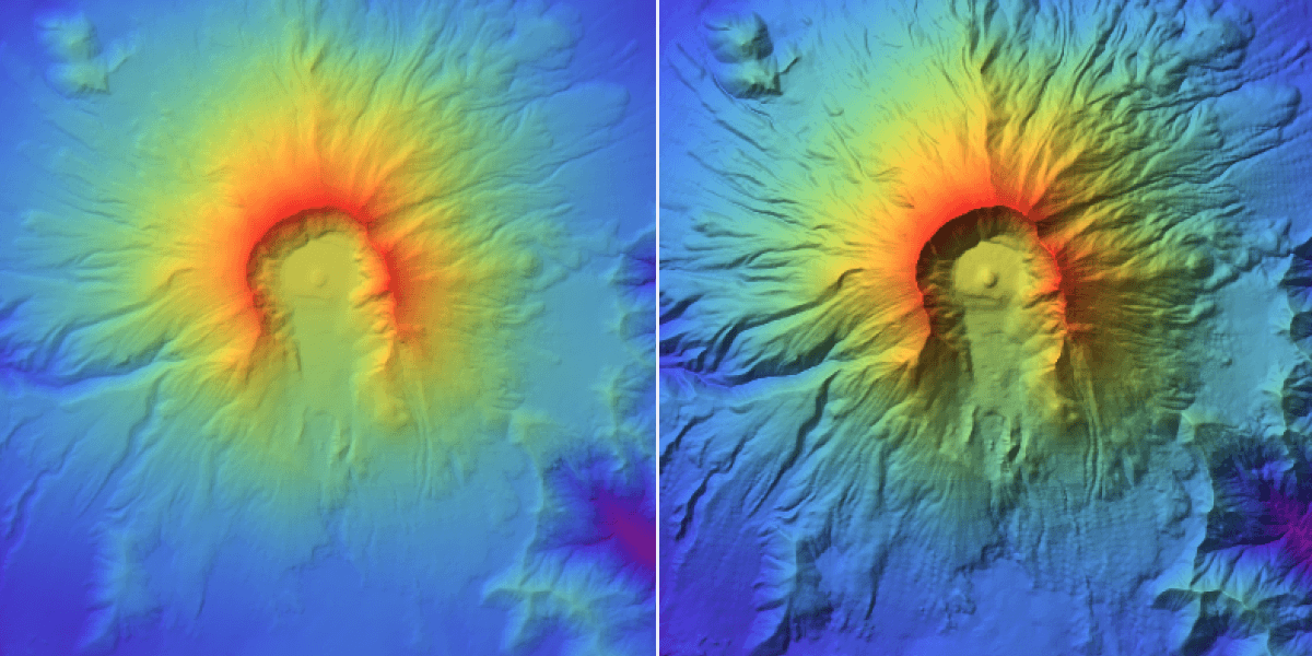
How can applying elevation data of the active volcano Mount St. Helens model its topology?
Who does what?
 HUMAN
HUMAN- Source and scope the necessary data.
- Refine filters to enable computation.
- Decide on suitable visualizations.
- Choose aspects of the data to highlight.
 COMPUTER
- Transform data from open data source into computable data.
- Apply filters to the data.
- Compute visualizations.
- Import geographical data and present visually.